Log in
All resources
Create a design
863,826 Free Images of Maps By Coronelli
maps by benedetto bordon
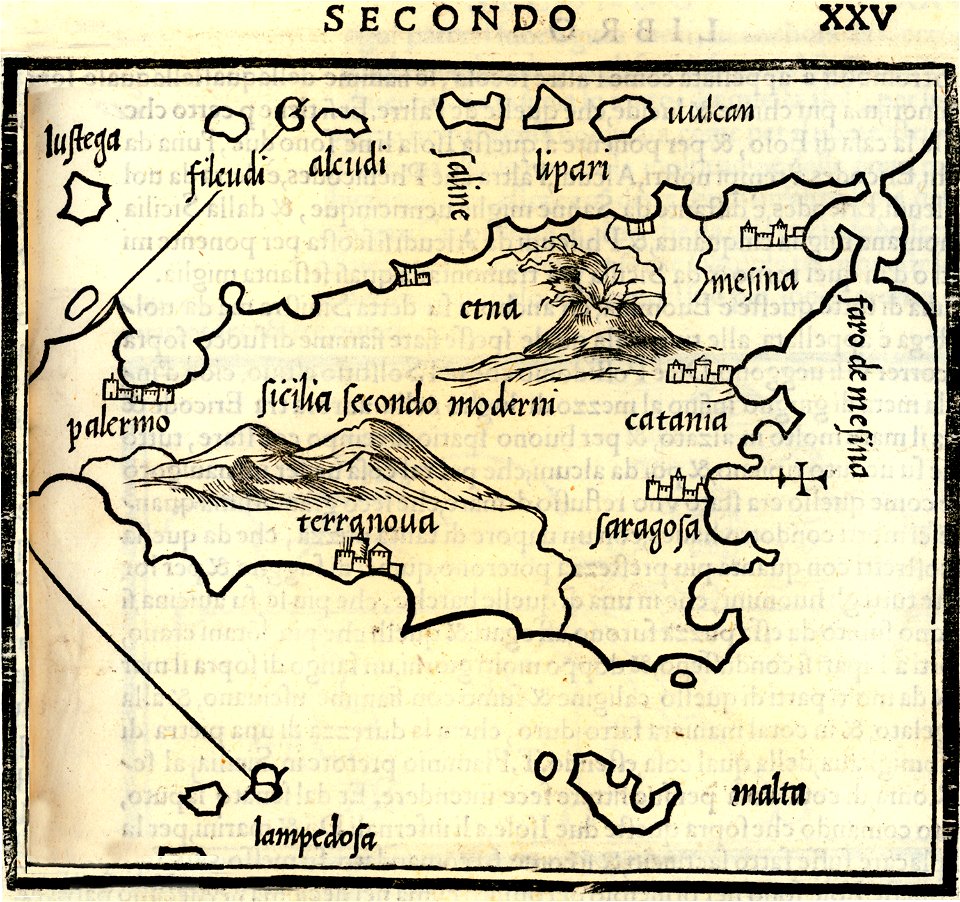
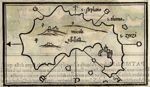
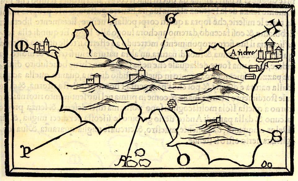
isolario di benedetto bordone (1547)
1547 maps
david rumsey historical map collection
maps by william faden
maps by joseph hutchins colton
1785 maps
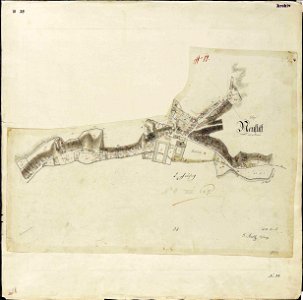
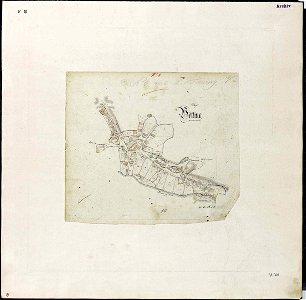
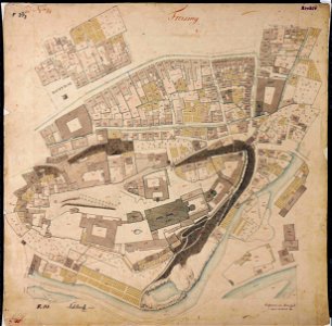
maps by royal bavarian land tax commission
old maps of freising
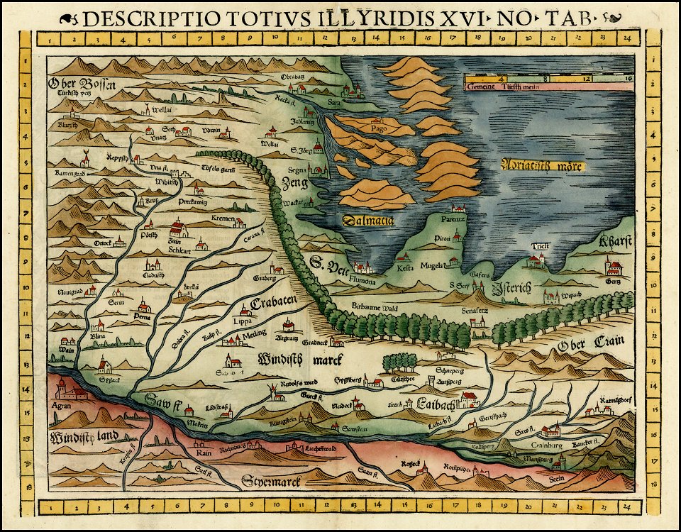
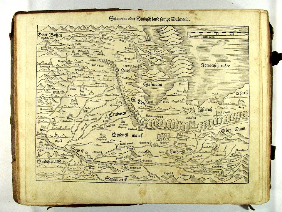
maps by sebastian münster
david rumsey historical map collection
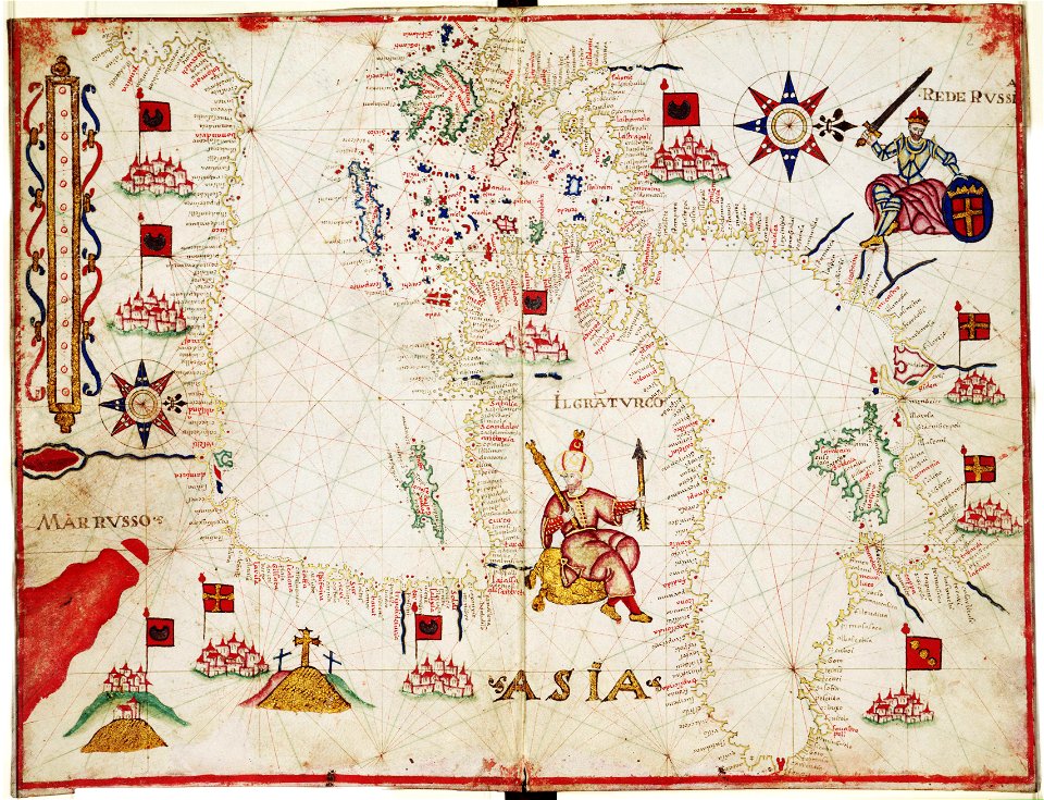
old maps of the russian empire
maps by emanuel bowen
safavid iran
german-language maps showing history of europe
maps by sebastian münster
maps in the library of congress
old maps of south africa
giovanni marco pitteri
italian-language maps
maps in the library of congress
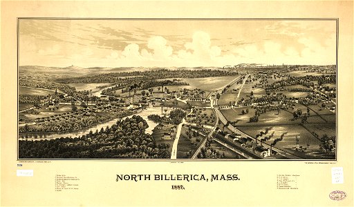
old maps of massachusetts
maps in the library of congress
old maps of massachusetts
16th-century woodcuts
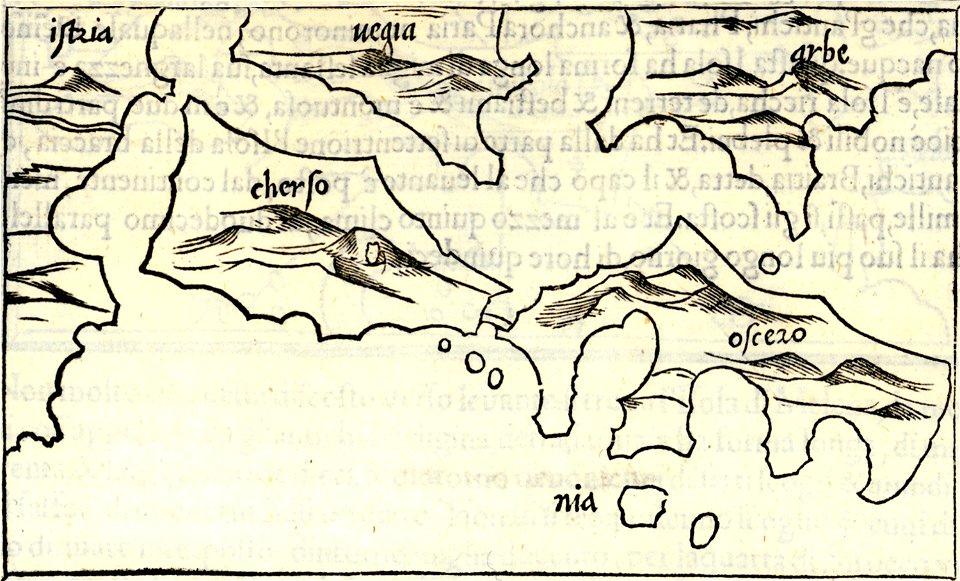
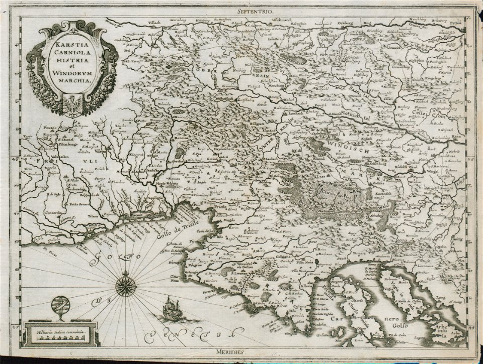
old maps of croatia
german-language maps showing history of europe
maps by sebastian münster
maps in the library of congress
old maps of south africa
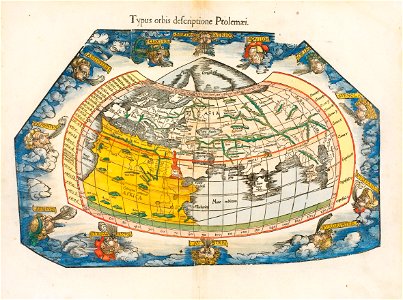
ptolemaic world maps
latin-language maps
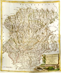
old maps of the province of bergamo
maps by antonio zatta
david rumsey historical map collection
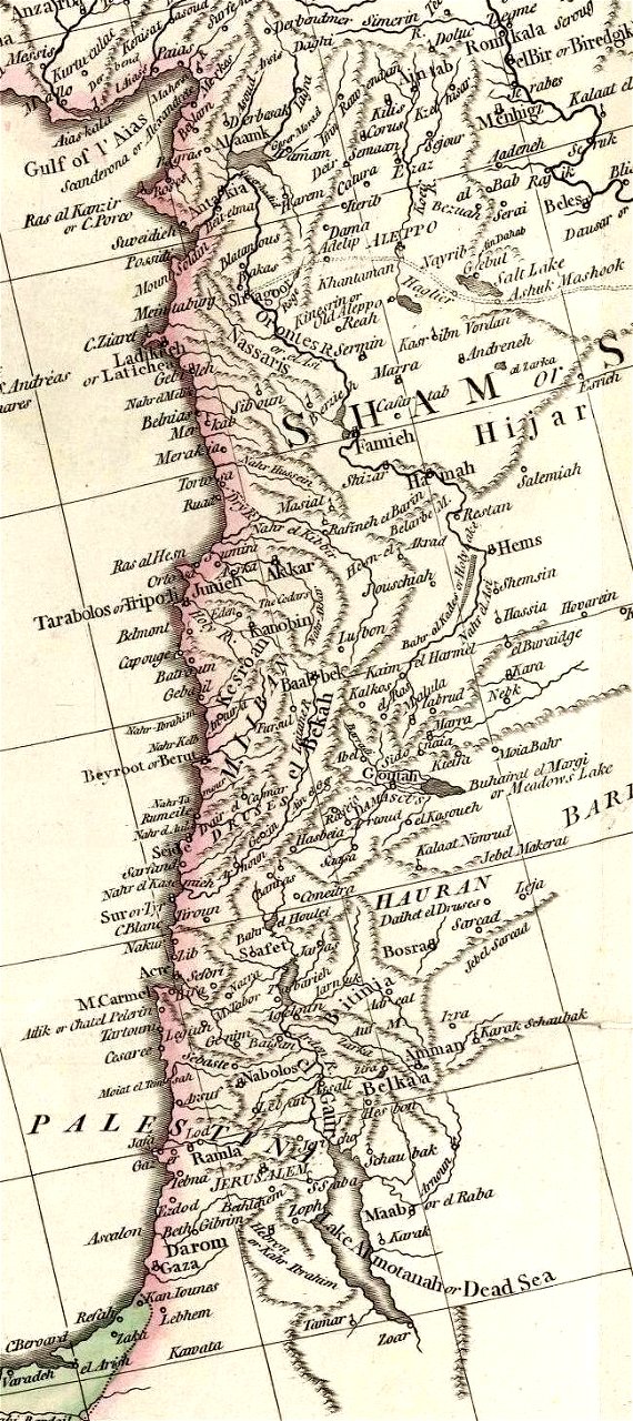
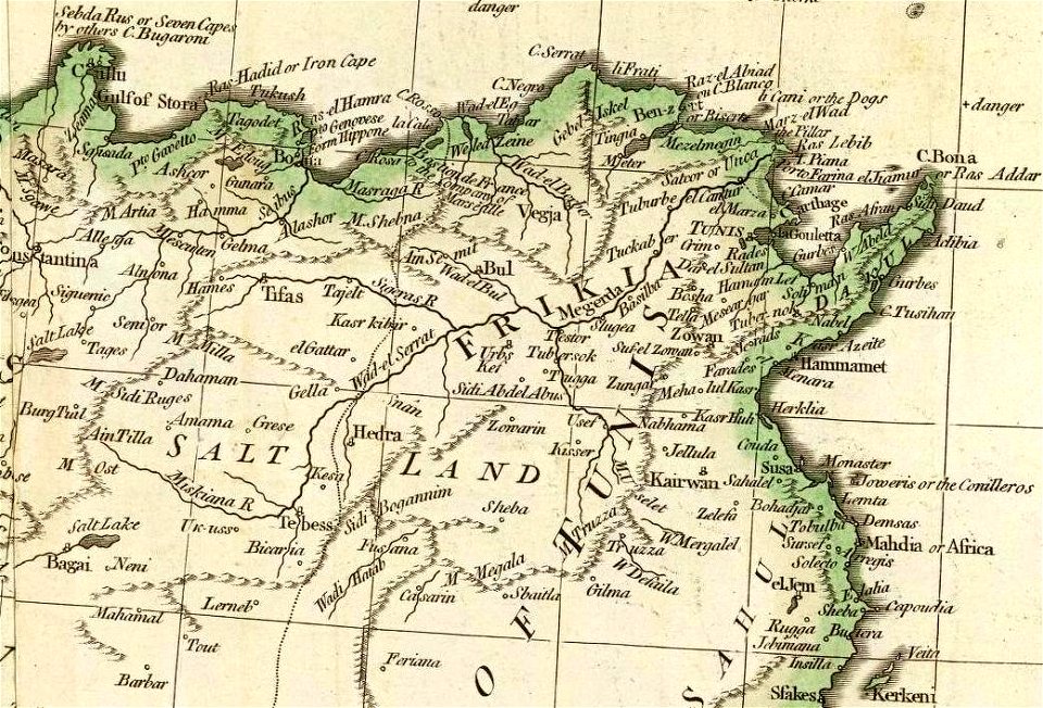
old maps of the middle east
david rumsey historical map collection
old maps of the caspian sea
david rumsey historical map collection
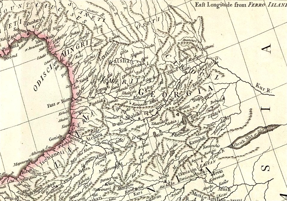
old maps of samegrelo
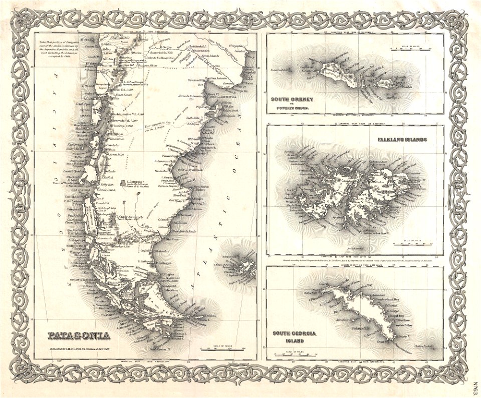
old maps of the falkland islands
old maps of patagonia
david rumsey historical map collection
j. and p. knapton
maps by willem and johannes blaeu
atlas van loon
david rumsey historical map collection
maps with cartouches
maps by willem and johannes blaeu
1640 maps
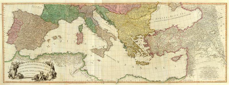
16th-century maps of the mediterranean sea
16th-century maps of the black sea
english-language maps
1814 maps
david rumsey historical map collection
maps by william faden
david rumsey historical map collection
old maps of the middle east
thomas abernethy (explorer)
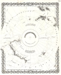
old maps of antarctica
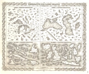
geographic comparison diagrams
1855 maps
geographic comparison diagrams
1855 maps
maps by joseph hutchins colton
english-language maps
maps by frederick de wit
copper engraving
maps by nicolas sanson
1705
francis drake
1577
maps in the library of congress
town maps by l. r. burleigh
old maps of the gulf of mexico
maps by thomas jefferys
pieter van der keere
sindi people
maps made in the 17th century
maps by nicolas sanson
maps made in the 17th century
maps by nicolas sanson
maps made in the 17th century
maps by johannes janssonius
maps by jacques-nicolas bellin
19th-century maps of africa
old maps of the iberian peninsula
1850s maps of portugal
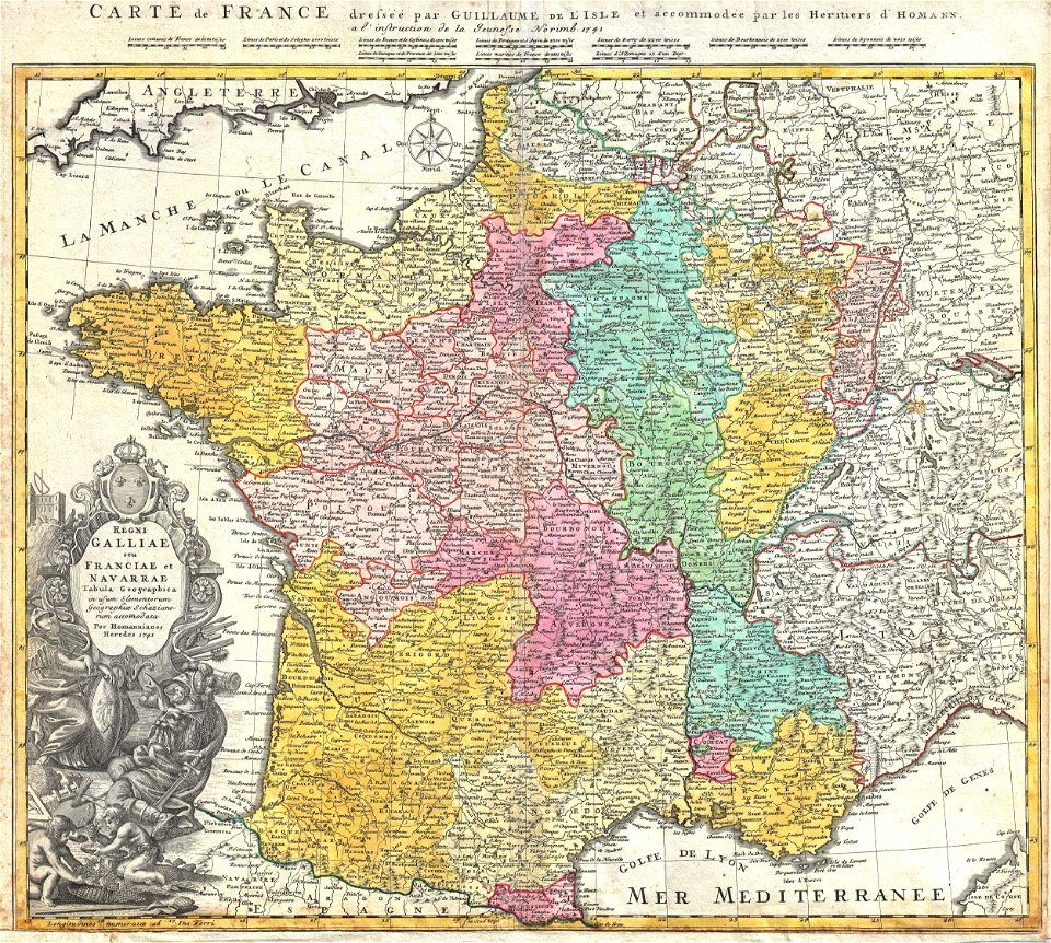
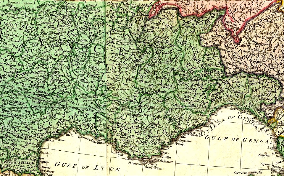
administrative history of france
johann baptist homann
charts and maps of the royal museums greenwich
17th-century maps of the mediterranean sea
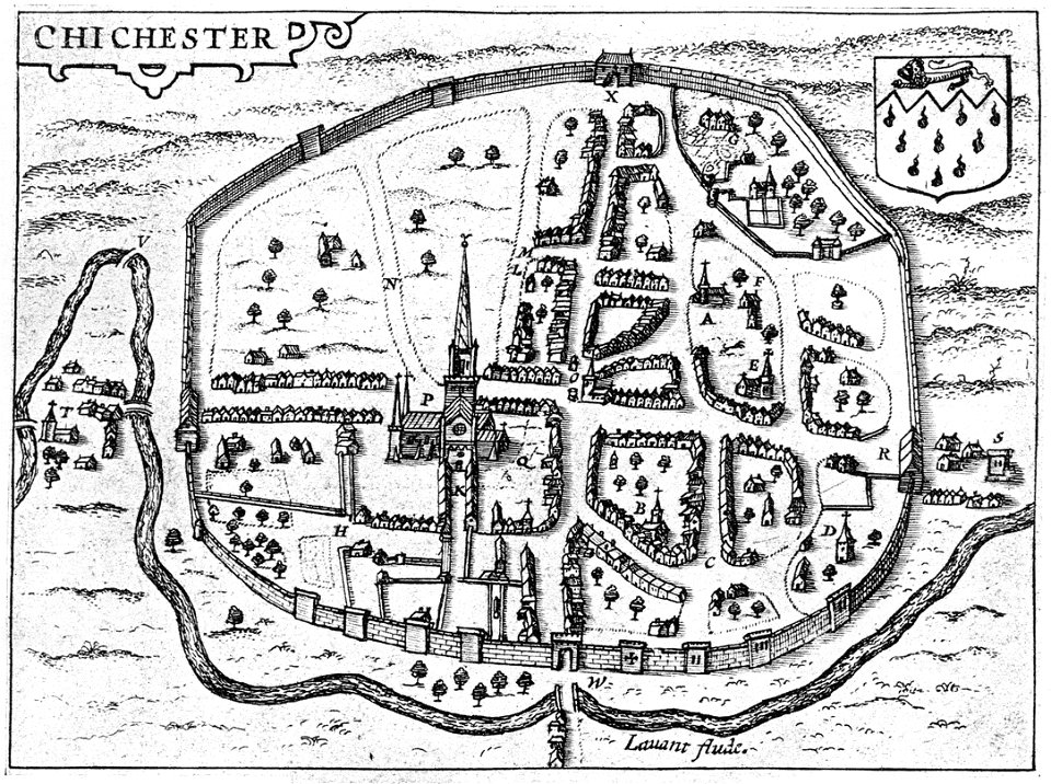
west sussex
chichester
maps by jodocus hondius
1628 maps
maps and topographical views by joris hoefnagel
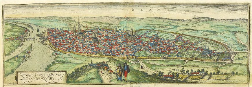
old maps of rouen
maps by gustav adolf von varendorf
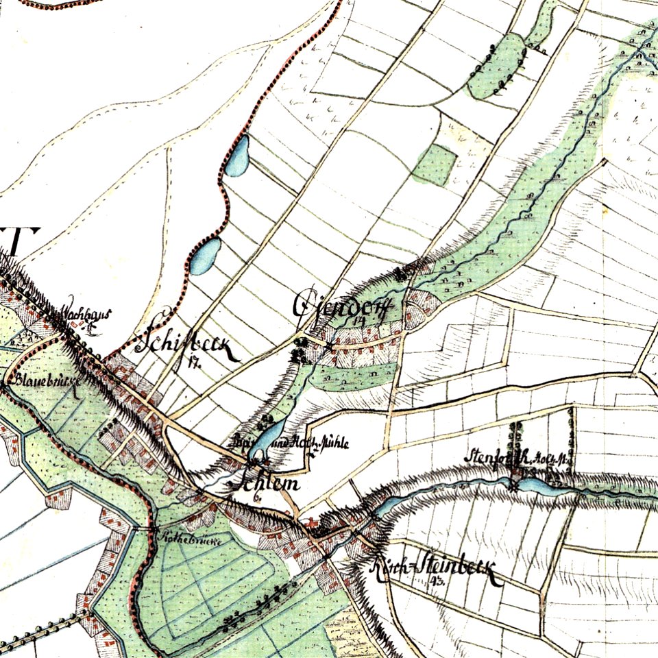
maps of hamburg-billstedt
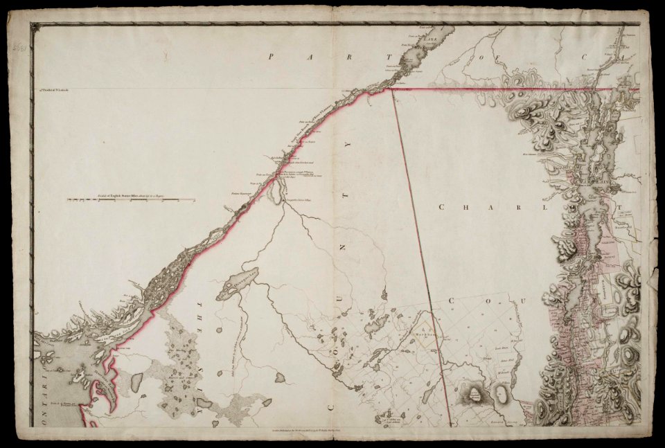
david rumsey historical map collection
maps by william faden
david rumsey historical map collection
maps by william faden
david rumsey historical map collection
maps by william faden
david rumsey historical map collection
maps by william faden
david rumsey historical map collection
maps by william faden
david rumsey historical map collection
maps by william faden
maps by willem and johannes blaeu
bourbourg
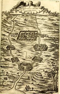
maps from turris babel
by athanasius kircher
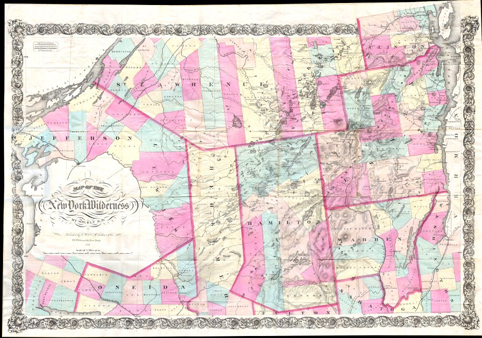
maps by joseph hutchins colton
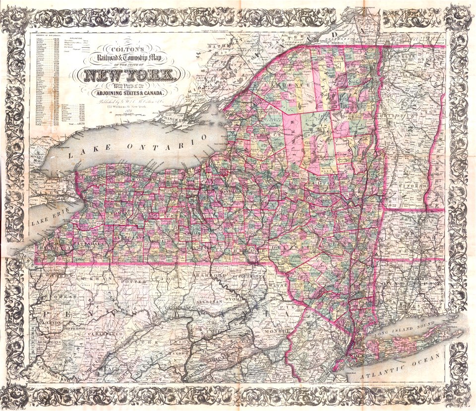
1867 maps of new york (state)
maps by joseph hutchins colton
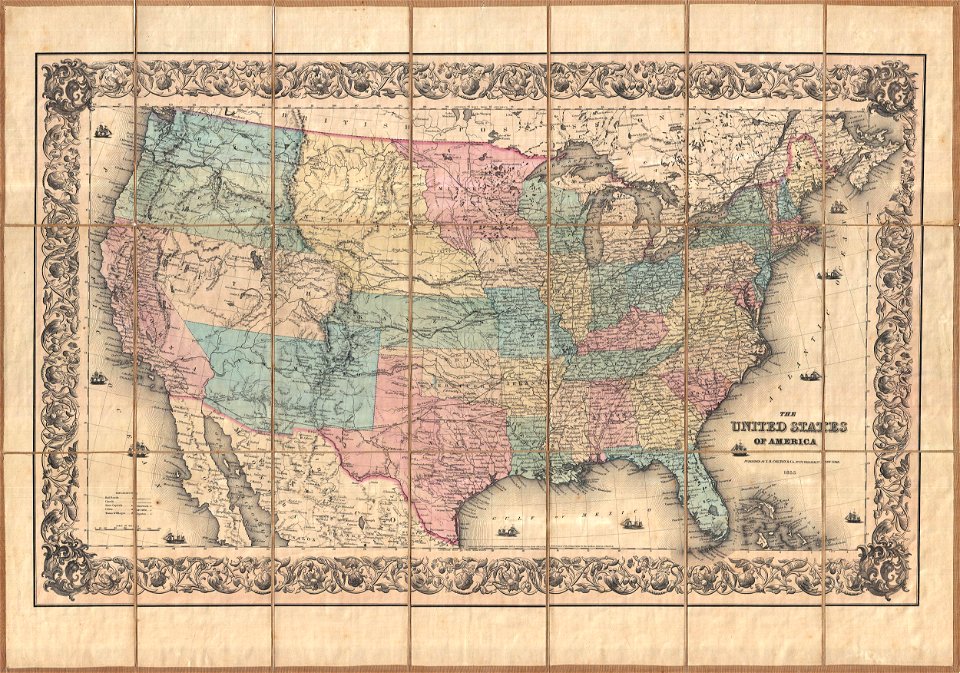
1855 maps of the united states
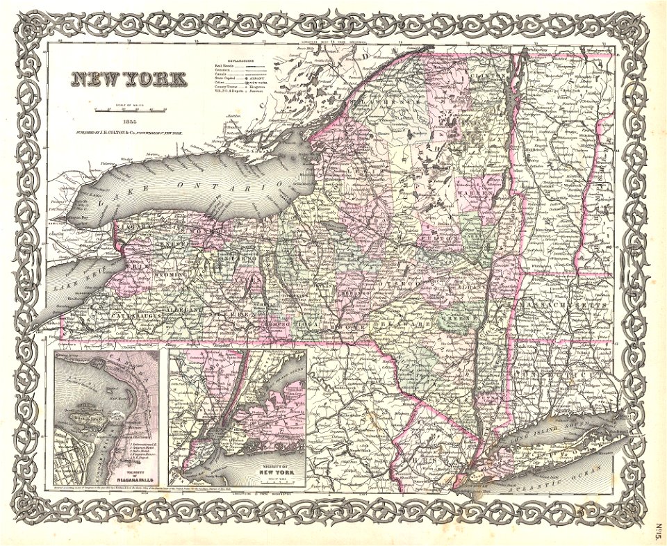
maps by joseph hutchins colton
1855 maps of new york (state)
maps by joseph hutchins colton
1857 maps of new york (state)
maps by joseph hutchins colton
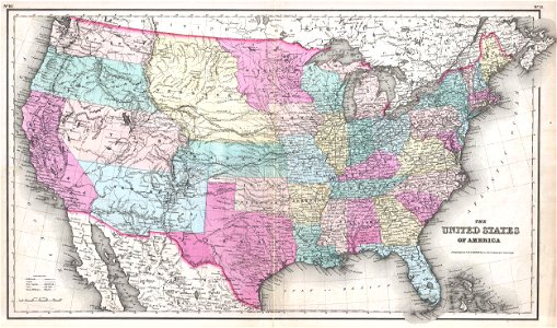
1857 maps of the united states
maps by joseph hutchins colton
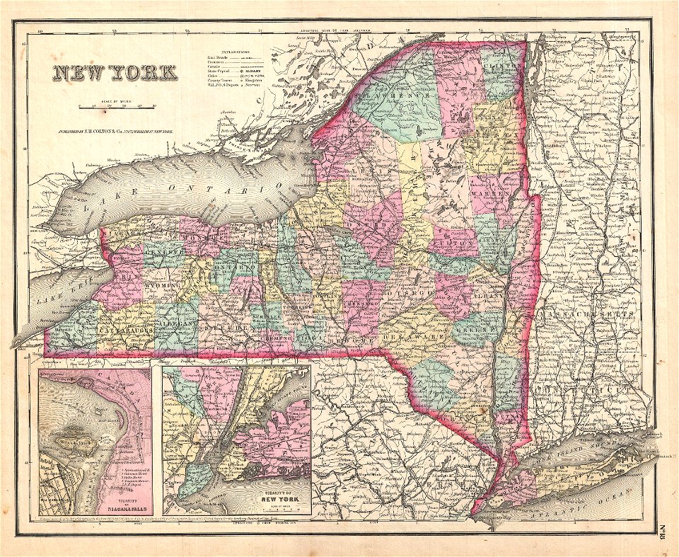
1876 maps of new york (state)
maps by frederick de wit
1680s maps of asia
maps by claude joseph sauthier
old maps of new york (state)
maps by claude joseph sauthier
old maps of new york (state)
maps by claude joseph sauthier
old maps of new york (state)
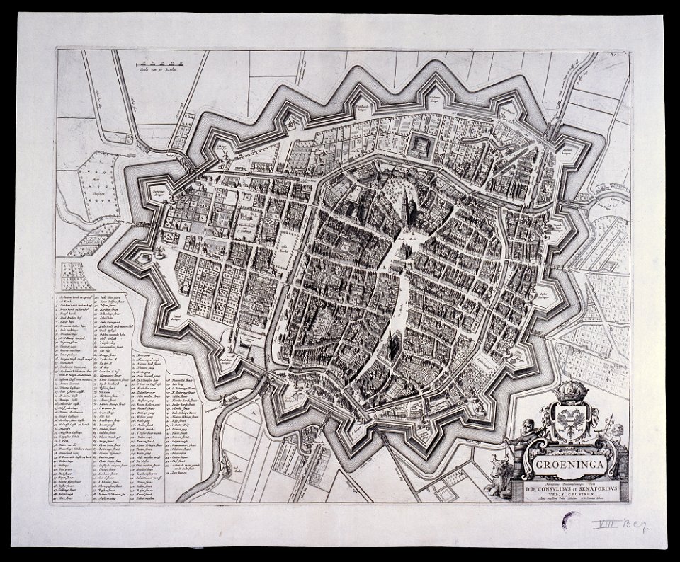
maps by willem and johannes blaeu
old maps of groningen (city)
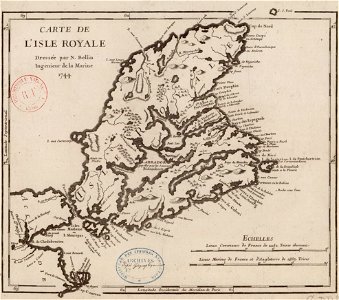
maps by jacques-nicolas bellin
old maps of cape breton island
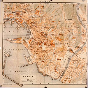
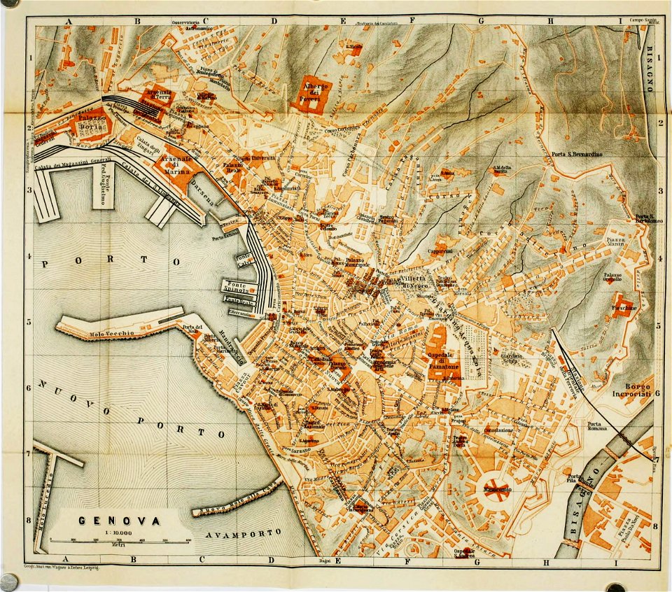
wagner & debes
old maps of genoa
wagner & debes
old maps of genoa
17th-century maps of the world
maps by frederick de wit
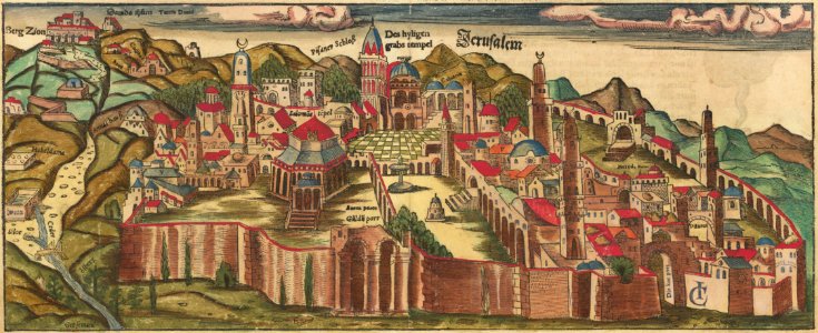
jerusalem in the 16th century
maps by sebastian münster
jerusalem in the 16th century
maps by sebastian münster
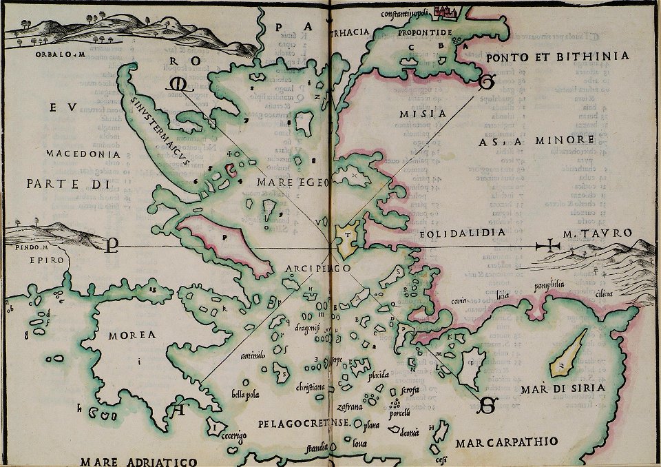
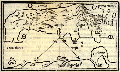
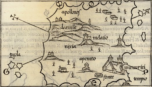
isolario di benedetto bordone (1547)
maps by benedetto bordon
isolario di benedetto bordone (1547)
maps by benedetto bordon
isolario di benedetto bordone (1547)
maps by benedetto bordon
isolario di benedetto bordone (1547)
maps by benedetto bordon
isolario di benedetto bordone (1547)
maps by benedetto bordon
isolario di benedetto bordone (1547)
maps by benedetto bordon
isolario di benedetto bordone (1547)
maps by benedetto bordon
isolario di benedetto bordone (1547)
maps by benedetto bordon
isolario di benedetto bordone (1547)
maps by benedetto bordon
isolario di benedetto bordone (1547)
maps by benedetto bordon
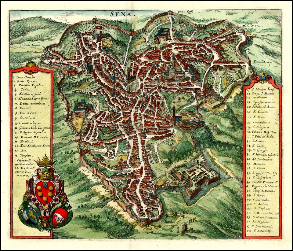
timeline of siena
old maps of siena
isolario di benedetto bordone (1547)
maps by benedetto bordon
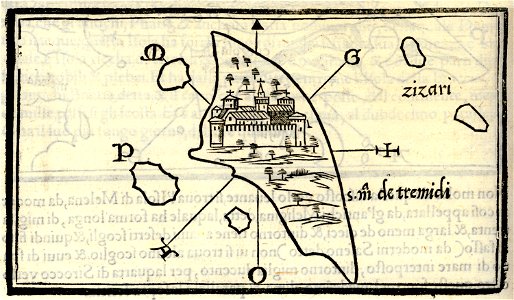
isolario di benedetto bordone (1547)
maps by benedetto bordon
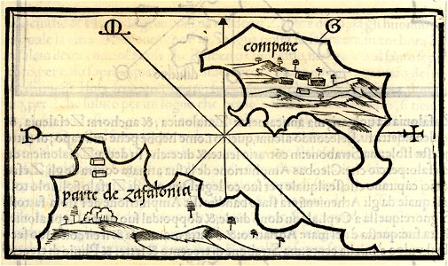
isolario di benedetto bordone (1547)
maps by benedetto bordon
isolario di benedetto bordone (1547)
maps by benedetto bordon
maps by matthäus seutter
county of hainaut
maps by jacob van deventer
old maps of harderwijk
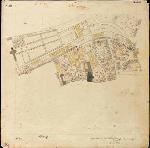
maps by royal bavarian land tax commission
old maps of freising
maps by royal bavarian land tax commission
old maps of freising
engravings by matthäus merian
1649 maps
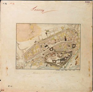
maps by royal bavarian land tax commission
old maps of freising
maps by royal bavarian land tax commission
old maps of freising
maps by royal bavarian land tax commission
old maps of freising
maps by royal bavarian land tax commission
old maps of freising
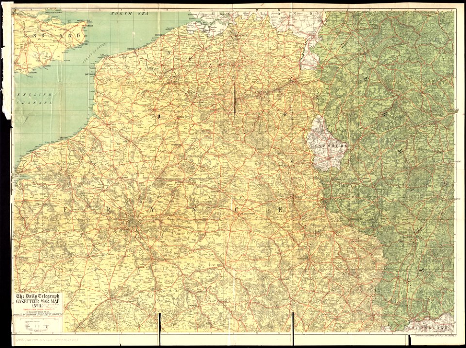
maps of world war i by the daily telegraph
1915 maps
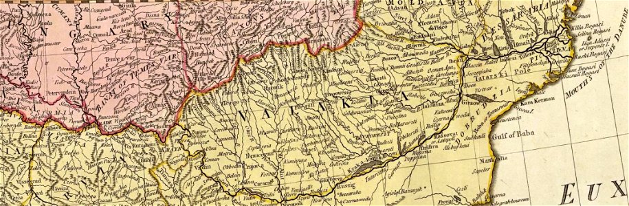
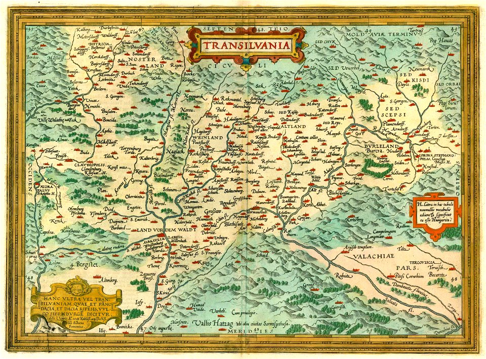
1612 maps of transylvania
maps by abraham ortelius
isolario di benedetto bordone (1547)
maps by benedetto bordon
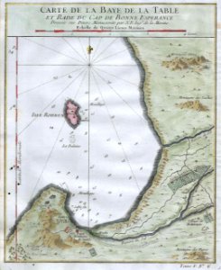
old maps of south africa
table bay
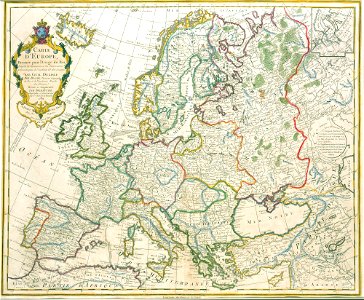
old maps of europe
1789 maps
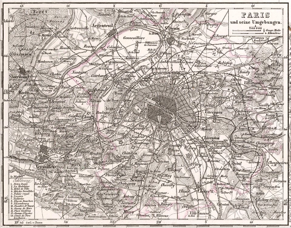
maps of paris from the david rumsey historical map collection
1866 in paris
1001 - 1100 of 863,826
Next page
/ 8639